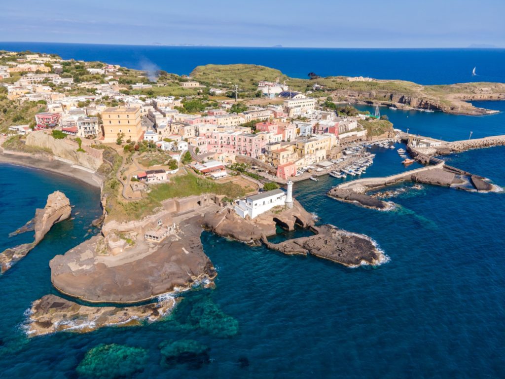
Bathing in Ventotene
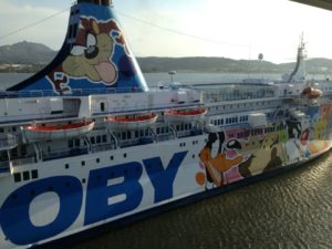
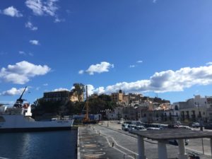
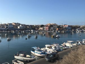
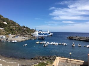
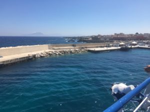
The island of Ventotene, a territory of just over one and a half square kilometers, has sea beds characterized by cavities, caves and ravines that are formed also after landslides generated by the erosion for atmospheric agents. The ridges overlooking the sea make much of the coastal strip inaccessible from land (a situation even more difficult due to landslides affecting the areas). But along the three kilometers of coastline there are also coasts that can be reached. The waters, thanks to the protection and enhancement of the marine reserve surrounding the island, are excellent and are characterized by clarity and richness of flora and fauna. There are also other coves, in addition to those listed below, where you can stop by boat, but at the right distance from the shore. To reach Ventotene by ferry or hydrofoil it is advisable to book in advance. On this website you will find all the information on the races accompanied by timetables and prices.
All the beaches
All the beaches of Ventotene are located in a protected marine area.
Cala Rossano beach
There are two sandy coastal areas of Ventotene that can be easily reached from the town. The first, which is immediately noticeable as soon as you land, is that of Cala Rossano, near the New Port (Porto Nuovo), on the north-east side. Made up of medium-grained sand and gravel, it is both free and equipped and there is a bar, a restaurant, and the possibility of renting pedal boats. The vegetation of the small bay is made up of Mediterranean scrub and the seabed is sloping.
Spiaggia di Cala Nave
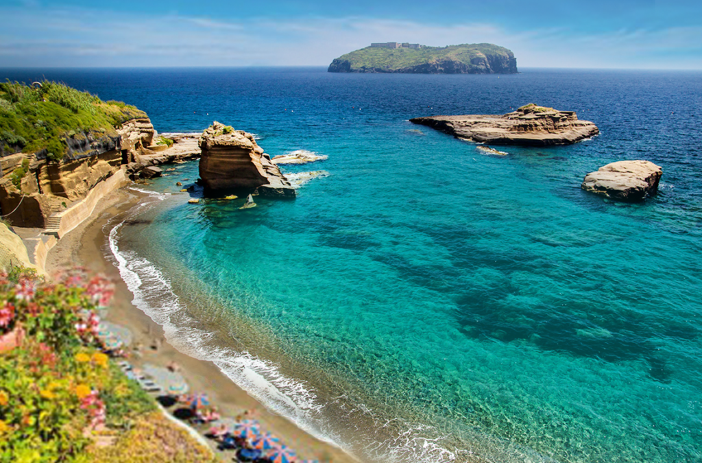
The second beach on the island easily accessible from the town is Cala Nave, a sandy bay located southwards after the Scogli del Faro (the rocks that delimit the Roman Port), on the south-eastern side of the island. The sand is soft and dark and the quality of the sea is certified by the recent Blue Flag as well as the Green Flag of Italian pediatricians. With a sloping seabed, sometimes rocky, it has both a free area and a bathing establishment, and there is a kiosk bar. The cove is ideal for families, but in the high tourist season it is quite crowded. Not far from the coast, there are three rocks: the small Scoglitiello, the largest, called La Nave, and the closest to the shore, La Nave di Terra.
Cala Battaglia beach
The impervious path through which you reached Cala Battaglia, a small free beach of fine dark sand, without services of any kind, is no longer accessible. The small cove is therefore currently accessible only from the sea.
Parata Grande Beach
Parata Grande is a beach located in a small cove with a rocky ridge, unfortunately closed due to the risk of collapse. It can only be reached by boat; a sign instructs boats to keep at least 50 meters away from the rocks.
The cliffs
Some cliffs of Ventotene are within walking distance from the center.
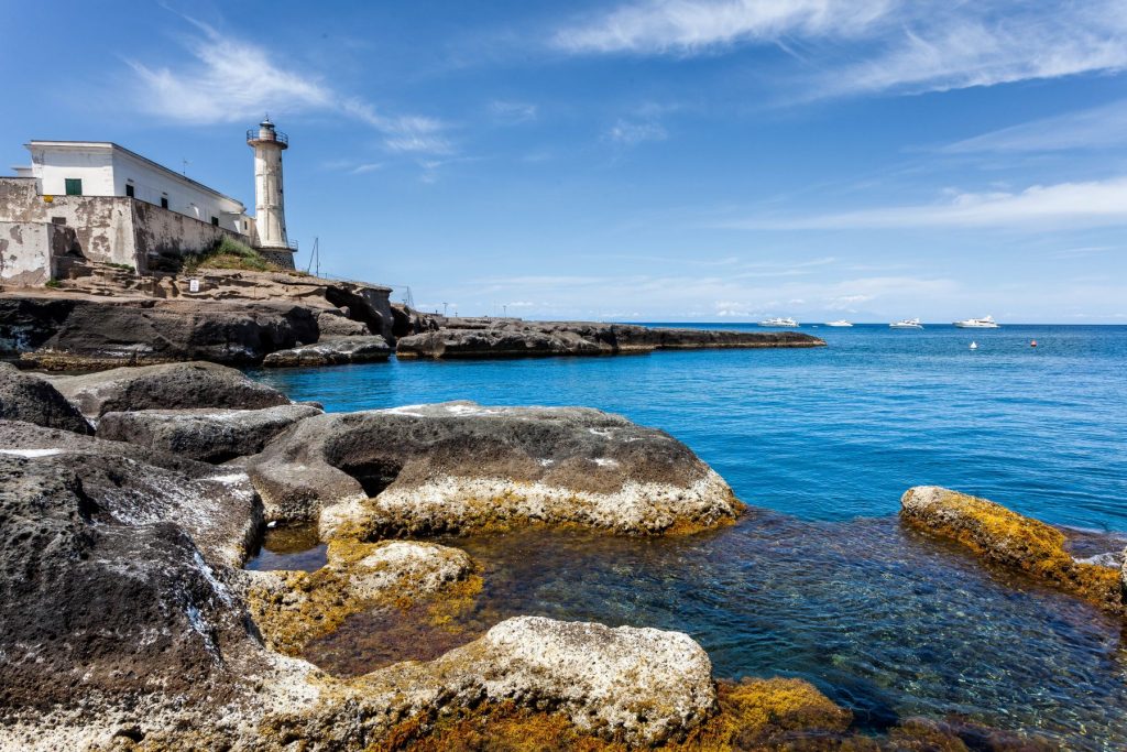
Establishments on the Scogli del Faro
Right next to the Ventotene lighthouse, on a flat cliff, there are bathing establishments, with sun loungers, deck chairs and umbrellas for a fee. From this natural platform, the Scogli del Faro, it is also possible to swim by going down and up from the sea easily.
Cliff of Punta Pertuso (Porto Romano)
At Punta Pertuso, which is practically a cliff that protects the old port of Ventotene (the so-called Porto Romano), the flattened rock has, thanks to some stairs, a comfortable access. You can swim and, quite comfortably, lie down in the sun.