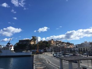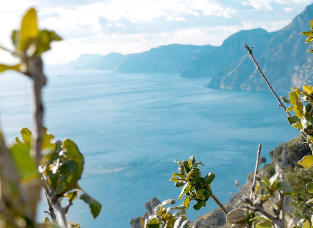
Among the hiking trails on the Amalfi Coast there are 5 in particular of not at all high difficulty, currently accessible and obviously characterized by the landscape of the so-called Divine Coast, a UNESCO World Heritage Site, and by the panoramic views limited only by the horizon on the sea.
The degree of difficulty of the excursion itineraries proposed below is the tourist one (T) on the specific scale of the Italian Alpine Club. The routes start from the towns of Positano, Praiano, Minori and Cetara.
Although they still require a certain knowledge of the mountain environment and physical preparation for the walk, they are not long, are clearly visible and do not pose uncertainties or orientation problems.
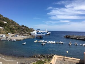
In late spring and during the summer season it is possible to reach the municipalities affected by the suggested trails, or move between them, even with the ferries to the Amalfi Coast, managed by various shipping companies.
Tourist excursion itineraries on the Amalfi Coast
There are five tourist excursion itineraries proposed here and they extend along the following pathways:
- from Montepertuso to Positano centre;
- from Praiano to Colle La Serra (Agerola) and back;
- from Minori to Torello (Ravello) and back;
- from Minori to Maiori (Sentiero dei Limoni);
- from Pietra Chiatta to Punta Fuenti (Cetara).
Path from Montepertuso to Positano
This itinerary begins in one of the two hamlets of the municipality of Positano; it starts from the center of the village of Montepertuso: 300 meters from the Parish Church of Santa Maria delle Grazie, Via Pestella crosses Via Monsignor Vito Talamo, a driveway to be taken up to the intersection with Via Grado, when it is necessary to take a staircase on the left.
From here, along a ridge covered with Mediterranean scrub, a path leads to the locality of Lipariati, the arrival point, from where it is then very simple, through various narrow streets or stairs, to reach the beach of Marina Grande di Positano.
The route is 1 kilometer and 300 meters long, winds between 100 and 355 meters above sea level, has a degree of difficulty T (tourist), lasts less than an hour and has no signs.
Path from Praiano to Colle La Serra
This itinerary begins in the upper area of the municipality of Praiano: from Via Costantinopoli street there is a stairway from which Via Colle La Serra street unwinds, which leads, in the municipality of Agerola, to the locality of Colle La Serra, at an altitude of 578 meters, between terraces and Mediterranean scrub. The route ends at the crossroads with the Path of the Gods, where you can go back.
The overall length of the route is 1 kilometer and 300 meters, winds between 261 and 578 meters, has a tourist degree of difficulty (T), the signs are there and they are horizontal and not obvious; the duration of the journey is about an hour one way and about three quarters of an hour on the way back.
Path from Minori to Torello
This itinerary begins on the coast of Minori, precisely from a stairway located at the end of the seafront (Via San Giovanni a Mare street); at the crossroads with the driveway you have to cross and climb another flight of stairs to the cemetery, and from here, along Via Cappella street, between vegetable gardens and Mediterranean scrub, up to 224 meters above sea level, where Torello is located, a hamlet of the municipality of Ravello; the route, without signs, ends at the crossroads with the CAI path 315.
For the outward and return journey it is necessary to travel a kilometer, taking a total of about an hour.
Path of the Lemons
The famous Path of the Lemons, through the lemon groves of Sfusato Amalfitano (Limon amalphitanus), connects Minori to Maiori and it was once the only land connection between the two villages. The route begins in Minori, in Via Lama street: at the end of the road there are the stairs to the Torre Village, along which, at the crossroads, you have to turn right.
After the Belvedere Mortella, you arrive at the village and then, in the municipality of Maiori, on Corso Reginna street and the seafront. Easy to walk, it takes an hour to complete.
Path from Pietra Chiatta to Punta Fuenti
This itinerary is entirely included within the municipality of Cetara; it starts from Via Salvo d’Acquisto street, near the cemetery, and first crosses the Pietrachiatta area, among vineyards, lemon groves, olive groves and terraced vegetable gardens, and then Fuenti, a hamlet of Cetara, until it rejoins the SS Road 163.
It is a journey approximately 1 km and 200 meters long, lasting an hour on average.